
GIS
Energy District Heat Networks
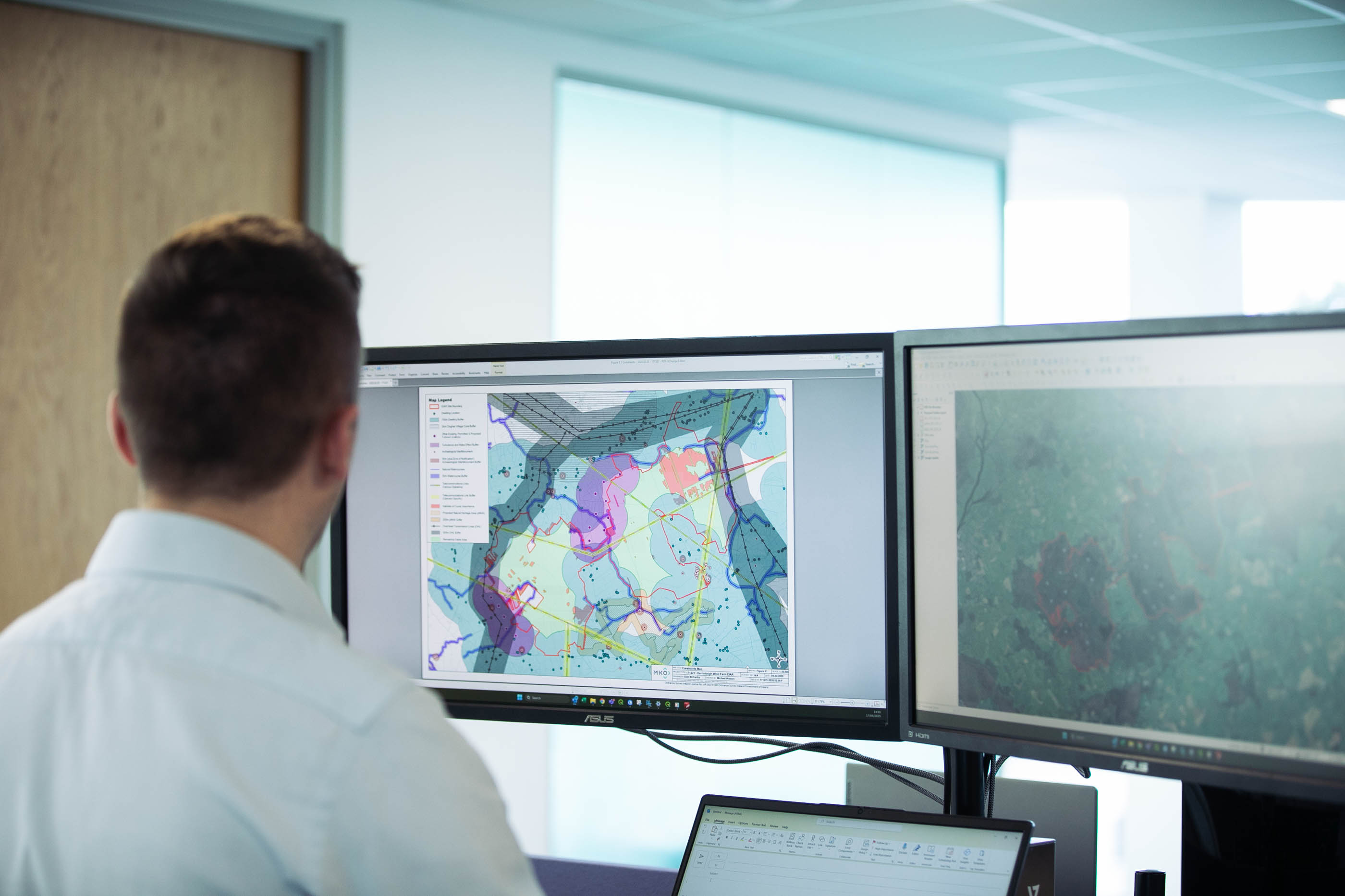
MKO supports the development of district heat networks across six key cities in the UK. This predominantly involves providing geospatial analysis, creating and maintaining a large Geographical Information Systems (GIS) based online platform, PDF mapping, and updating key datasets to aid decision-making. Pipe networks can take several years to develop, and GIS support is required at every stage of the process.