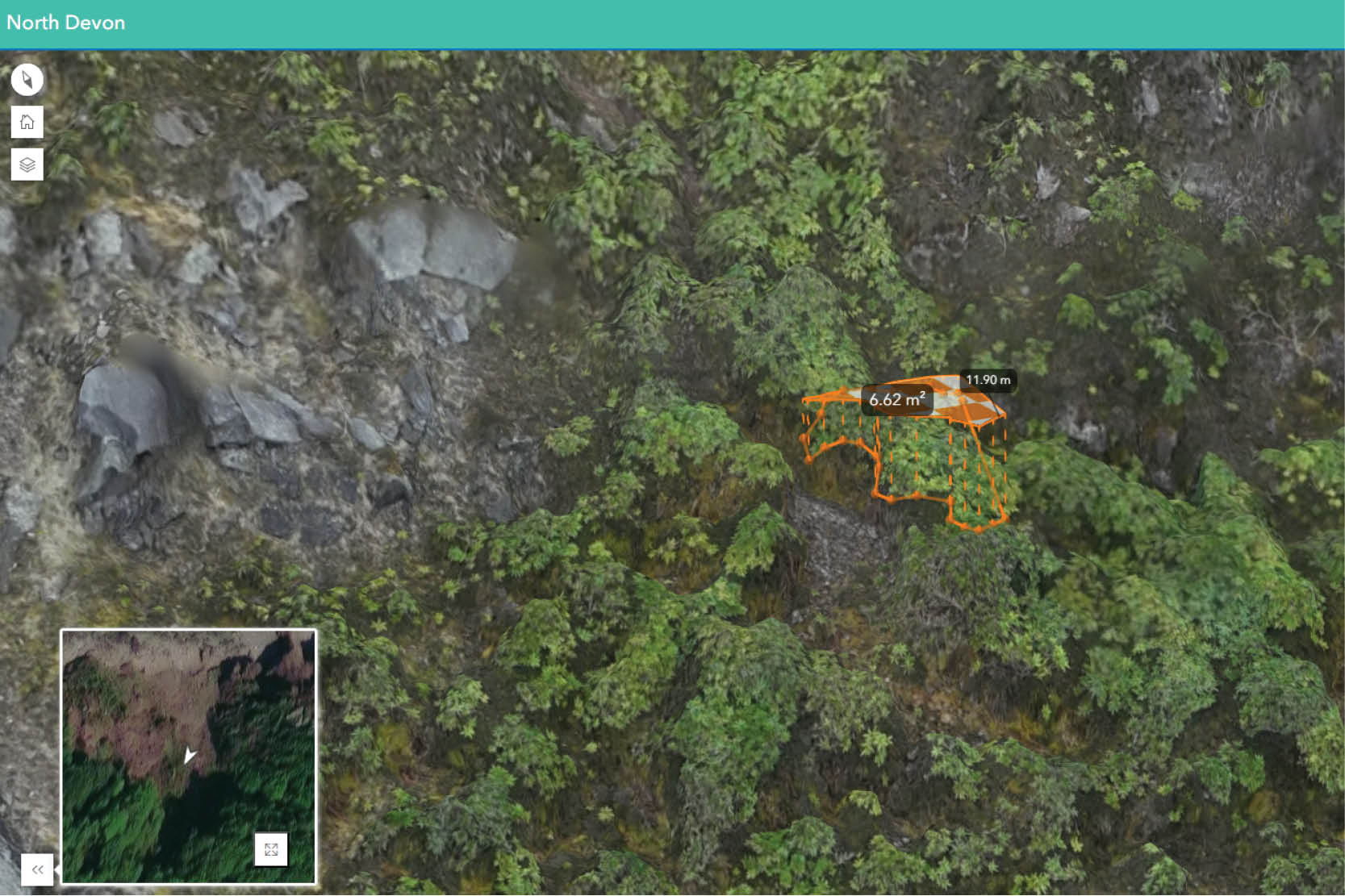
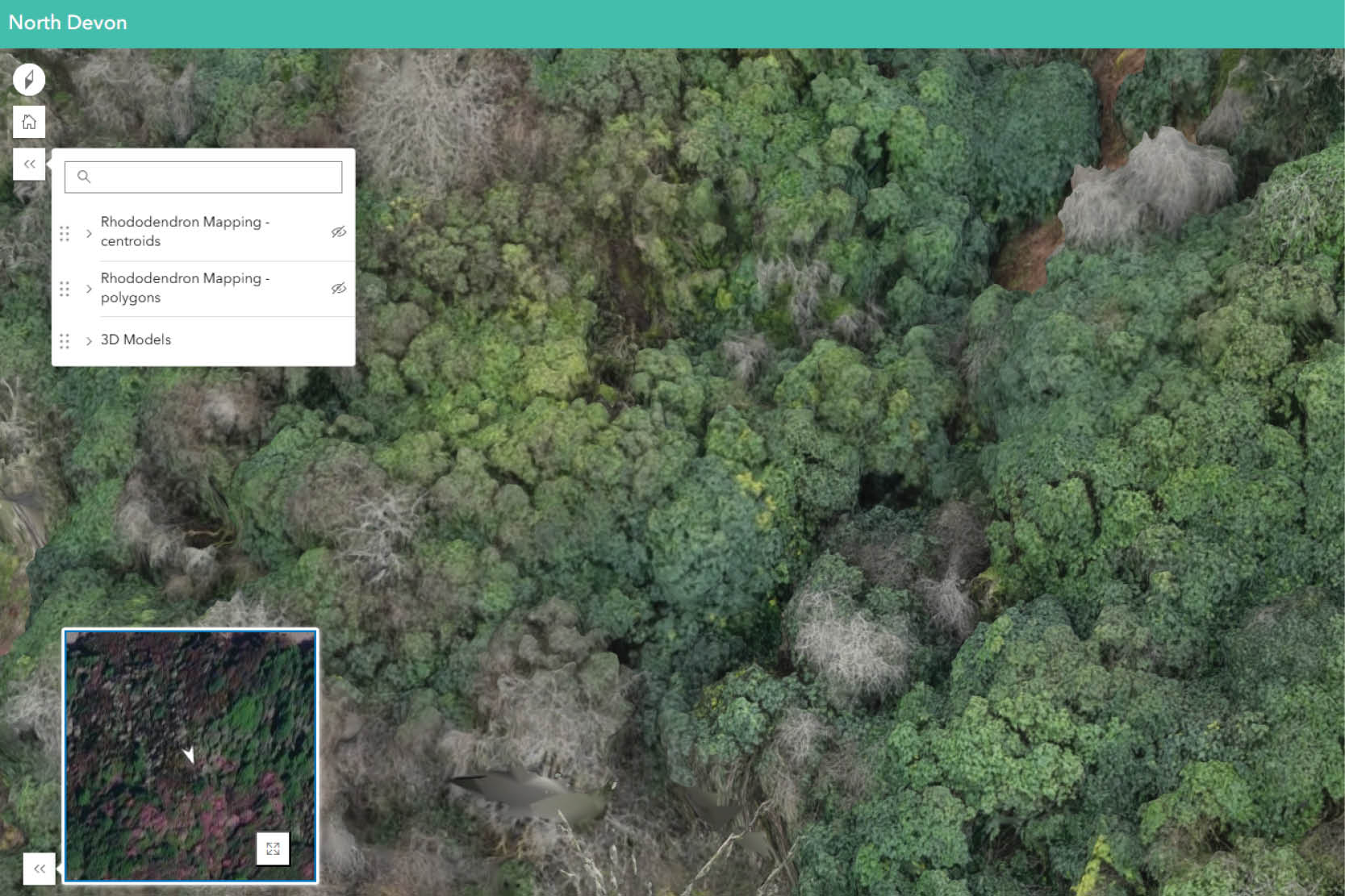
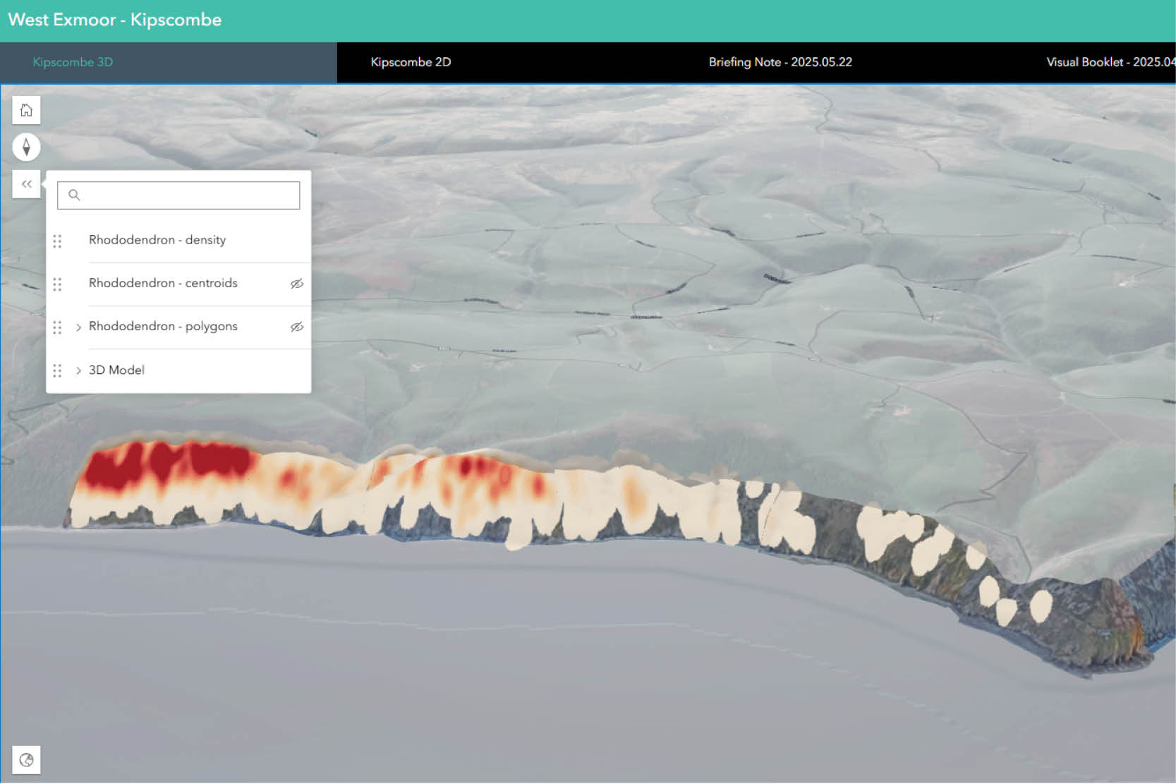
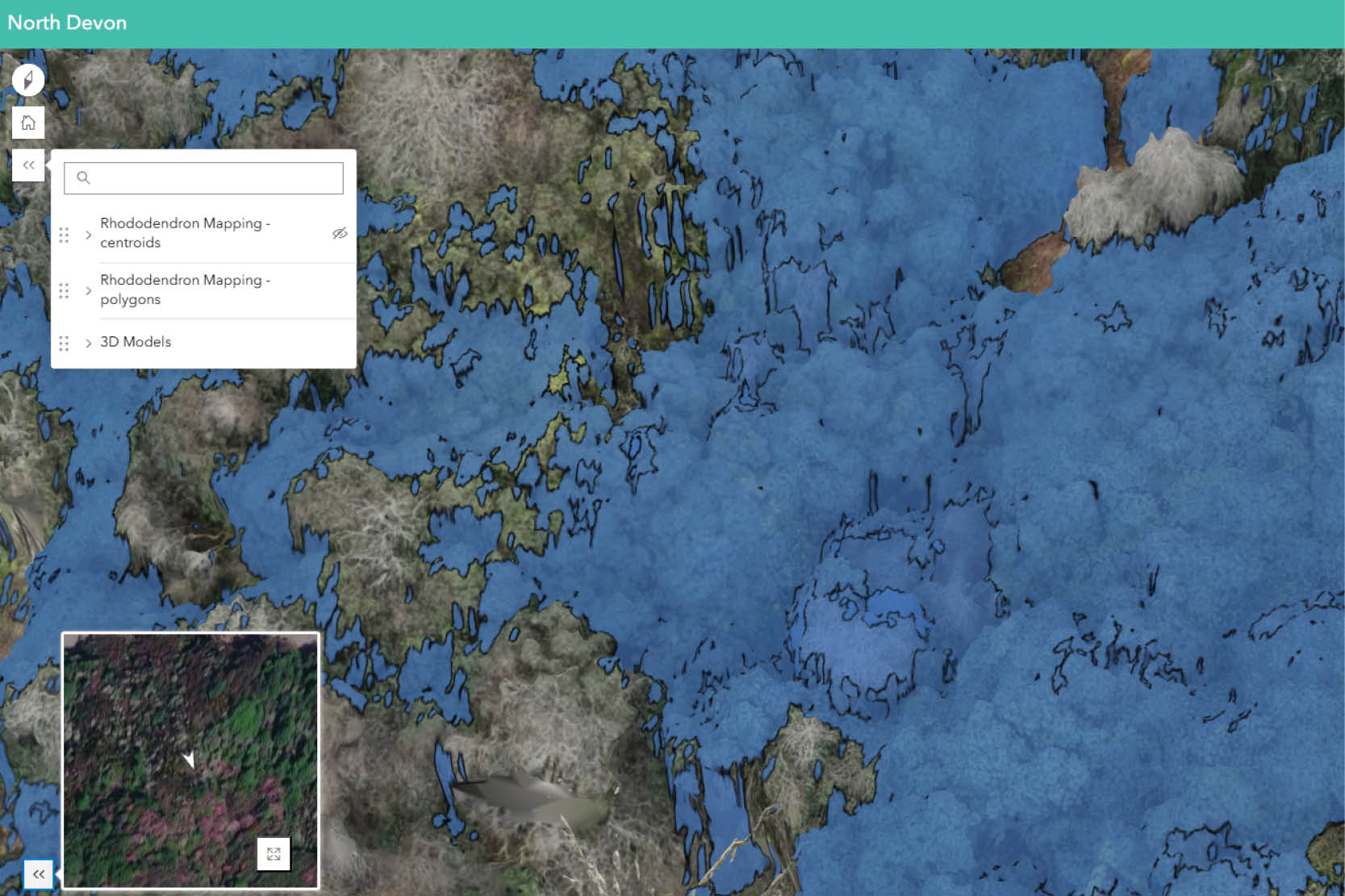
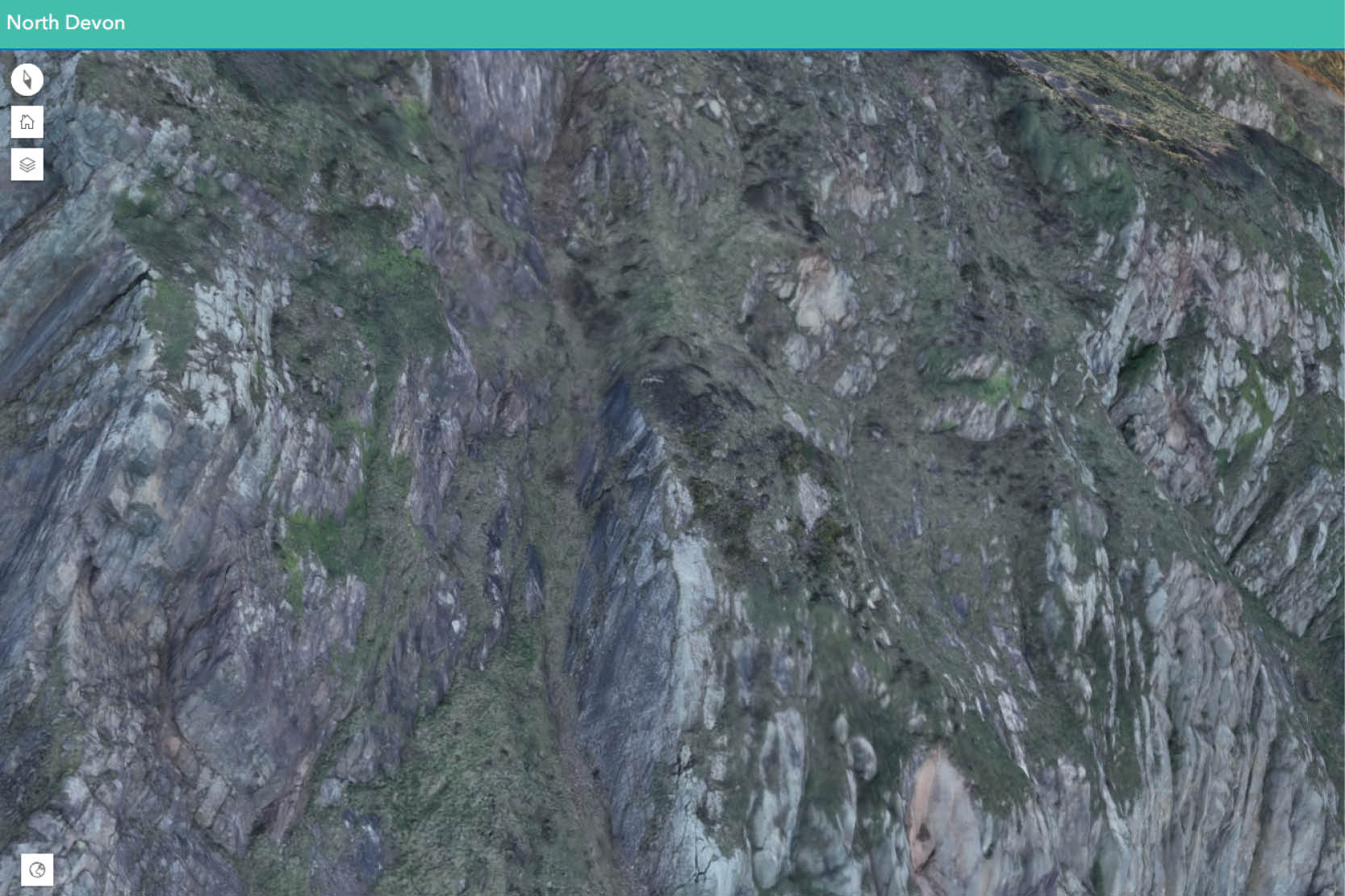
Rhododendron is severely threatening the distinctive woodland on the steep cliff faces of North Devon. However, the inaccessible nature of the cliffs and the size of the area make traditional ground surveys time-consuming and unsafe to be carried out effectively. MKO used drones to capture high-resolution imagery along the coastline, in an area of 180ha, and develop detailed 2D and 3D models for safe visualisation and desk study. By analysing Rhododendron spectral reflectance, shape and size, the invasive species was automatically mapped at individual-plant level, including saplings. All the deliverables were uploaded on a dedicated Web Map Portal, where the 3D models, the maps and the resulting report can be accessed and analysed interactively without the need for additional software. The portal represents now the actual Digital Twin of the site, and National Trust UK will use it as a baseline for planning Rhododendron management and monitoring over time.